Blue Carbon: If you’ve been paying attention to the space around Nature-based Climate Solutions over the past few years, you’d have heard at least some of the hype around it by now.
Put simply,the term Blue Carbon refers to the carbon stored in marine an coastal ecosystems (think mangroves, seagrass meadows, and tidal marshes) as opposed to other colors of carbon such as Green Carbon, which is stored in terrestrial ecosystems like forests.
People are excited about the potential for Blue Carbon for a variety of reasons:
Blue Carbon habitats are highly efficient carbon sinks for the same unit area, when compared to other habitat types. It is estimated that the average annual carbon sequestration rate for tidal marshes, for example, averages between 6 - 8 Mg CO2e/ha, or about two to four times greater than those observed in mature tropical forests. Indeed, since 1850, the ocean has already absorbed about 40% of anthropogenic carbon emissions.
Unlike green carbon, the majority of blue carbon is stored below ground (approximately 50–99%). These rich soil carbon stores can be up to six meters deep below the surface, where it can remain for very long times (up to millennia), and are less vulnerable to loss through aboveground activities like logging or fires in terrestrial habitats.
The ocean and other marine habitats, covering over 70% of the world’s surface area, offer huge potential for Blue Carbon projects in areas where there is no existing habitat or competing use of space, as in terrestrial habitats.
That being said, despite these reasons for excitement, the market for blue carbon credit is still extremely nascent, given it has yet to overcome some of the regulatory hurdles that green carbon markets have already addressed.
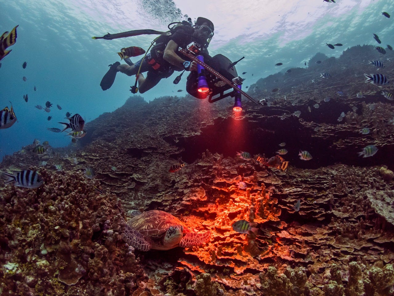
The most pressing bottleneck? Measuring the volume of blue carbon stores in the first place. While measuring terrestrial carbon in a timely and cost-effective manner is already difficult enough, blue carbon has the added challenge of being, well, underwater.
Where scientists may try to use satellite images to make estimations of terrestrial carbon stores, the water column hinders the propagation of sunlight to deeper areas where mangrove roots or seagrass meadows may be abundant, thus limiting the scope of observation of marine carbon stores.
That’s where innovators like the ones at Planblue come in. Planblue is a “nature technology” company enabling the mapping of the ocean through a combination of its ‘Underwater Satellite’ hardware (the “DiveRay”), and ‘SeafloorAtlas’ artificial intelligence software platform.
Here’s why we invested in the most recent round of this early-stage start-up.
Planblue is drastically improving the speed and cost-effectiveness of mapping the ocean floor, significantly improving the time-to-data.
With its combination of its modular underwater satellites and automation of data processing, Planblue has reduced the costs of mapping the seafloor across the whole process of data collection.
From reducing hardware costs to reducing labour intensity, the company has made sea floor monitoring far more accessible to a variety of users, including ocean scientists and marine conservationists that want to conduct environmental impact analyses or other forms of research (e.g., effects of climate change on the health status of the seafloor, presence of invasive algae, biodiversity), as well as companies in the offshore wind, and aquaculture industries, which may use the technology to inspect underwater construction and infrastructure (e.g., the effectiveness of seafloor restoration efforts).
2) Innovation to enable use of hyperspectral technology underwater
Although hyperspectral technologies have been use for the last 30 years, its hardware has not been well-developed for use underwater. Planblue is one of the first companies to overcome this challenge to deliver high-quality images and generate data in a consistent and comparable manner.
First, let’s address the elephant in the room: What does the term “hyperspectral” even refer to?
Hyperspectral imaging:
An analytical technique based on the data from hundreds of stacked images at different wavelengths of light (i.e. colors) for the same area.
While traditional cameras only capture three light band "layers" (red, blue, green, "RBG"), hyperspectral cameras captures 200+ light bands on the continuous color spectrum. In other words, if you imagine that each color photograph you see is actually made up of “layers” of individual colors, hyperspectral images contain many more color layers than their RGB counterparts.
The digital information captured in each pixel of each color layer can then be utilised to algorithmically evaluate what is present within the image, based on each element’s unique "spectral signature" or "fingerprint".
Hyperspectral imaging is a powerful tool that has gained increasing popularity for terrestrial applications in the last decade, as the cost of the hardware has come down. However, as already mentioned earlier, Planblue has made a distinct contribution to the space by enabling the technology to be deployed underwater, bypassing issues of image distortion from light refraction as it hits irregular ocean surfaces, or the inability of light to pass through deeper parts of the water column.
Planblue’s breakthroughs in hyperspectral imaging also bring advantages over other underwater imaging technologies such as laser or sonar: it allows users to monitor chlorophyll levels as a way to determine the health of the natural ecosystem, which can be an important parameter to determine the effectiveness of for example seagrass as a carbon sink.
3) Integration with software and AI to provide powerful analytical abilities
Through their Seafloor Atlas, Planblue uses artificial intelligence to integrate their proprietary hyperspectral data with RGB imaging, underwater navigation, as well as other data points such as temperature and pollution, to deliver a robust picture of the location under evaluation.
The company’s software platform SeafloorAtlas not only provides a more complex data package than would otherwise be possible in such a short amount of time - it also makes the interpretation of that data much more intuitive to the untrained eye.
4) A technically strong founding team, and high quality of investors and advisors
The company was founded in 2017, as a spin-off from the Max Planck Institute in Bremen, Germany.
Assessing the quality of any founding team is an important part of Silverstrand’s due diligence process, and we were impressed by the diversity and quality of technical expertise at Planblue. Joost den Haan, CEO, has a PhD in research on climate change and nutrient pollution impacts of coral reef and seaweed, and worked in the seafloor monitoring industry. Hannah Brocke, COO has a PhD in Mathematics and Natural Sciences. Raja Kandukuri, CIO, is an experienced hardware developer with a history of working in the environmental services industry. Guy Rigot, CTO, was with OHB as an AOCS Engineer for over 6 years developing algorithms and performance assessments of the Attitude and Orbit Control System (AOCS) of the MeteoSat Third Generation (MTG) Satellite.
Beyond the executive team, the company is supported by a number of highly qualified advisors with strong business acumen and experience, including Dr. Marc Mogalle, Lynton Burger, and Reinhard Ottway. Additionally, Planblue participated in EIT Climate-KIC, a highly respected climate tech accelerator supported by the European Institute of Innovation and Technology, as well as obtained the support of the EXIST Start-up program, start-up program of the Ministry for Economic Affairs and Climate Action (BMWK) in Germany. To put the cherry on top, it also has some of the most prominent ocean investors on its cap table. The fact that the company has been able to surround itself with such an impressive network of reputable people and organizations gave us the vote of confidence in the value of the business and its strategy.
5) Commitment to impact
With great power - or knowledge - comes great responsibility. As a team at Silverstrand, we’ve had our concerns that an unintended negative impact of ocean mapping generally is that the improved seabed visibility might be exploited for mining or resource extraction purposes. However, Planblue has an explicit policy not to work with any company that could misuse the data to further damage the ocean.
Their approach to working with oil and gas companies is to limit any work with them to the inspection of leaks, and precludes any new exploration endeavours to expand extractive activities. The intention and clarity with which they work was key to letting their business pass our impact criteria during the due diligence process.
The market potential for Planblue’s seafloor mapping technology is significant given that currently only 20% of the world’s seafloor has been mapped; and if we’re making quality comparisons, less than 1% has been mapped with the same level of detail. With an estimated market size of $50bn for carbon sequestration & trade by 2030, we’re excited for what’s in store.
Enjoyed these notes? Check out the the quick version of our investment spotlights on Linkedin (and share it with your friends!), and be sure to subscribe for more updates.